Beyond this Semester

As the semester comes to an end, I sincerely hope you have found this blog both informative and entertaining. This experience has taught me a great deal about my local watershed.

More than the science behind watersheds, I’ve learned how lucky I am to live in a community like Arlington. With our engaged citizenry, strong nonprofits, and supportive local government, I know that the region is in good hands. Our urban environment certainly presents unique challenges to resource management, but we are well equipped to overcome them.

If you are interested in learning more about our natural world, I’d encourage you to check out some of my other blogs. You can find them all here:

On the Front Lines of Conservation

There and Beak Again

Nature in the Neighborhood

Digital Ecology

And of course, if you have any questions about the content provided here (or certainly, anything at all about Arlington 4-H), you can reach me at cverdu@vt.edu.

Thanks for reading, and take care!

Sincerely,
Caitlin

Floodplains and Alluvial Soils

This week, I was a little daunted by our topic. It’s been a long time since I’ve thought about floodplains, let alone alluvial soils. Fortunately, Arlington County was on the ball (per usual). Their Environmental Department has a very informative webpage (available here) with all Arlingtonians need to know about our local floodplains.

In the slides below, you’ll see a few maps of the area from both FEMA and Virginia software. I recommend playing around with each of them. Like me, perhaps you’ll find peace of mind and realize that your home is not likely to flood. Or perhaps you’ll find the opposite, and buff up your flood insurance. Either way, you’re bound to learn something.
Enjoy!

Invasive Investigation

This week I wanted to learn a bit more about one of Arlington’s common invasive plants: English Ivy. I’ve been familiar with this species for a long time. My parents’ backyard is covered with this quickly growing groundcover, and as a kid I spent many summer days “freeing” our trees from its death grip.

To learn more about this common invasive, and to learn how (to easily!) remove it, check out my slides below. Enjoy!

Equipment Investigation

This week I wanted to dig a little deeper into the equipment used by Arlington County’s volunteer stream monitoring effort. According to their website, they use a product called the Coliscan Easygel. I wanted to learn more about how this product works, how much it costs, and to identify some alternatives.

It turns out, the internet is full of easy, at-home tests for E. coli. Many are marketed to homeowners to provide a convenient DIY water testing kit. I did not discover why Arlington chose to use this one in particular, other than it is recommended by the State’s Department of Environmental Quality. However, it seems affordable and pretty simple to use. Check out the powerpoint below for more information!

-Caitlin

Monitoring Arlington’s Streams

In a previous post, I discussed how Arlington County’s dense urban environment leads to stream pollution from runoff. This creates a need for staff to keep an eye on stream conditions, to ensure conditions remain safe for resident recreation. But how is a small staff supposed to consistently find the time and labor to keep tabs on the streams? Volunteers!

Learn more about Arlington’s volunteer and staff-led stream monitoring projects here. Enjoy!

Dendrology

This week I want to introduce you to some of the common trees around the Four Mile Run watershed. I’ve relied on Cooperative Extension websites for much of this information, and would highly encourage you to explore your local Cooperative Extension office for all of your plant/tree/garden questions. It’s a great (and often critically underused) resource!

As a disclaimer, the latter half of the slides in the following powerpoint come from a previous Natural Resources course. I’ve included them here because it lets you see a more complete picture of the tree diversity in Arlington County. Enjoy!

Watershed Organization: EcoAction Arlington

For this week’s investigation into a local watershed group, I spoke with my colleagues down the hall at EcoAction Arlington. I learned from Professor Egenreider that Elenor Hodges, the Executive Director, was instrumental in creating this very course! Both she and Joslin were very happy to help and I learned a lot about their ongoing programs.

Enjoy!

-Caitlin

Flooding in the DMV

For this week’s focus on flooding and droughts, I wanted to investigate the tremendous rainfall we experienced in Arlington County this summer. Evidence of the flooding has been all over the local media, but I was curious–was this really worse than normal? Or are these sorts of heavy rain events more common than I imagine?

Finding data on Arlington’s historical precipitation was more challenging that I expected. Google’s recommended a number of unscientific “sites” for data, including bestplaces.net and usclimate.com. I ended up using the latter for some information after finding NOAA’s charts difficult to comprehend.

Weather Underground was also useful–their site provide graphs of average precipitation compared to daily values through the month. Much of the news and social media coverage of the flooding took place in the days following the storm, so this data helped me pinpoint when the actual storms took place.

To summarize my findings, I’ve compiled a short Google Slides presentation of the events. Take a look below.

Sincerely,

Caitlin

An Impervious Environment

One of the most critical issues facing Arlington’s watershed is the County’s high concentration of impervious surfaces, in combination with its lack of stormwater controls.

According to the County’s Environmental Department , 42% of Arlington’s surface area is impervious. These non-porous areas (including parking lots, roads, sidewalks and buildings) transport water instead of absorbing it like natural landscapes (meadows, forests, etc.) can. This would create interesting technical challenges for even the most environmentally consciously constructed localities. Alas, Arlington is a little behind the times in this department.

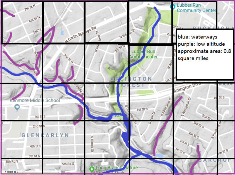
The County’s webpage on Streams explains that most structures in the locality were built before many stormwater regulations were established. As a result, the County lacks the infrastructure to slow down or treat stormwater before it flows into waterways, harming stream health.

Why Treat Stormwater?

It’s valuable to treat stormwater to prevent pollutants from entering the watershed. When it rains, water collects debris and pollutants and shuffles them into local streams. These hazards may include fertilizers and pesticides from homeowners’ yards, oil from cars, pet waste, cigarette butts, plastic, trash, and more (Waters, Poe & Wagner, 2011).

These pollutants damage the local environment by harming fish and plant health (Waters, Poe & Wagner, 2011). Humans recreating in or eating fish collected from contaminated waters may suffer health effects as well (Waters, Poe & Wagner, 2011).

Effects of Untreated Stormwater

With Arlington’s high incidence of impervious surfaces and outdated stormwater infrastructure, it is no surprise that the county suffers ill effects. The County Stormwater webpage lists its top concerns for the region:

-High volume of water entering streams during storm events, causing erosion to stream banks, trails, and trees

-Pollutants impacting water quality (as described above). The County explains that though the water quality in Arlington streams is generally “fair,” bacteria levels in some areas like Four Mile Run routinely exceed safe standards for human recreation.

-Hot surfaces increase water temperature harming aquatic life

-Lack of groundwater recharging, to sustain water levels during dry periods

The County’s Streams webpage also mentions that the county is at risk for flash flooding. Locals will recall that just recently motorists had to be rescued from their cars when the GW Parkway experienced a rapid water level increase. For more information, check out the Washington Post’s coverage of the incident.

Solutions to the Issue?

Improving stormwater infrastructure is one approach, though it would be an expensive retrofit. In light of Arlington’s increasingly tight budget, this construction seems infeasible in the near future.

Local non-profit Eco-Action Arlington (which will be explored in more detail in an upcoming post) addresses the problem with volunteers. This organization regularly coordinates stream clean ups to collect trash before it floats into the watershed. These efforts not only help prevent pollutants from contaminating the streams, but also serve as important educational events for residents.

Still, smaller particulates like oil and fertilizers cannot be manually captured by volunteers. Educational efforts to encourage landowners to use chemicals sparingly and to clean up oil and pet waste may reduce these contaminants’ presence.

Sources:

Stormwater & Watersheds. Arlington County website. Retrieved from https://environment.arlingtonva.us/stormwater-watersheds/

Streams. Arlington County website. Retrieved from https://environment.arlingtonva.us/streams/

Waters, S., Farrell-Poe, K., Wagner, K. (2011). When it Rains it Runs Off: Runoff and Urbanized Areas in Arizona. University of Arizona Extension.


Mapping the Watershed

Today I attempted to sketch out my watershed. Quickly I realized the map was a little too large to comfortably fit within a paint window, so I settled for mapping the upper section of my watershed.

Behold, my MS paint creation:Arlington-watershed-map.png

I found this exercise a little frustrating, if only because I have access to a professionally created, high-quality watershed map (Available on the county website here). By comparison, my map looks a little rough. With more time, a few ArcGIS courses, and a dual monitor computer, I am confident my end result would be a little more robust.

I did appreciate drawing on my much neglected geometry skills to estimate the average area in this snapshot of the watershed. Since the whole county is only 26.1 square miles, my estimate of less than one square mile for this map seems reasonable.

Additionally, I learned a little bit about Arlington County through this endeavor. In such an urban county, it is easy to overlook our waterways. While I’ve driven over Arlington Boulevard countless times, I did not ever realize a river ran under (through?) the highway.

I also discovered that while Arlington County offers access to a number of free GIS maps, there is no easily accessible online data of our watersheds. It would be easy to map locations of our parking lots, schools, or bus routes. But if you want to check out the watersheds, you’ll have to resort to alternative data sources.